How you get a terrain 3d printed?
There are different ways you can find on the internet. I will explain my way in a short description.
First choose a tool you want to use:
Terrain2STL http://jthatch.com/terrain2stl/ (90 m resolution)
Maps2STL https://map2stl.com/ (90 m resolution)
TouchTerrain https://touchterrain.geol.iastate.edu/ (10 m (US) 30-2000 m resolution)
to get your terrain converted into an STL file.
These are very useful tools to get very easily an STL file from an individual terrain like the Grand Canyon or Mount Everest.
But if you have a terrain which is quite flat, the created 3d models often do not look really nice.
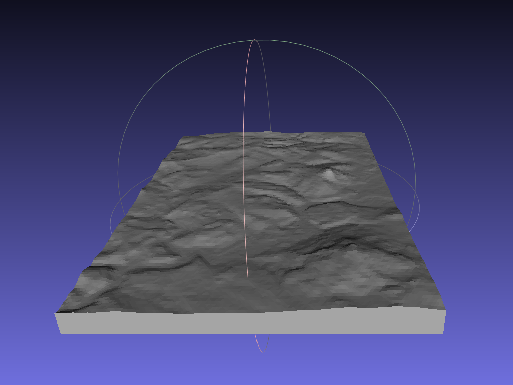
When you have got your STL file, import it into Meshlab.

As you can see, the structure of the terrain is really flat.
Goto Filters/Normals, Curvatures and Orientation/Transform: Scale
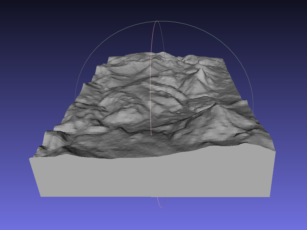
and scale it only into the z axis about a factor of 2-3.
As you can see, the terrain looks much nicer now.

Now you have to cut a little bit of the bottom. You can do this directly with Meshlab, but I use Sketchup for this.
So save the mesh as a collada *.dae file and import it into Sketchup.
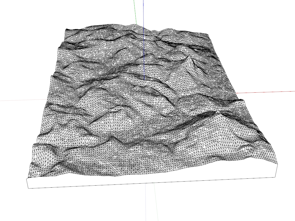
Then split the model into parts and remove a bit of the bottom.
It will look like that.

Now you can export it as a *.stl file and load it into your favorite slicer.
That's it, enjoy your self printed terrain model.
